Monitor Land Subsidence And Groundwater Level

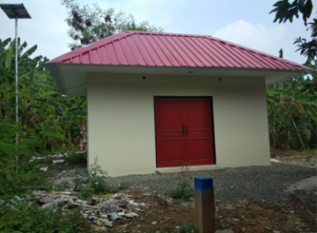
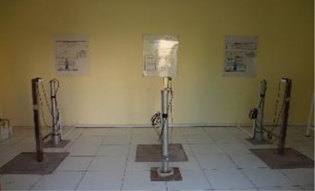
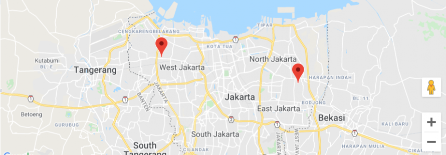
JICA construct 2 double tube monitoring well at Rusun Tipar Cakung, East Jakarta and Kebun Bibit Cengkareng, West Jakarta. The monitoring well constructed with depth 300 m, 150 m and 30 m.

Monitor Land Subsidence And Groundwater Level

InSAR result (2007-2018)

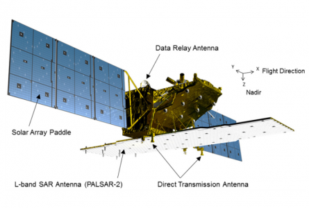
JICA conduct satellite images by using ALOS 2. ALOS 2 satellite could capture image in wide surface area. Based on the result, land subsidence area classify into 3 area based on land subsidence rate.

InSAR result (2007-2018)

GNSS And Levelling Survey 2019

JICA team conduct GNSS survey in 5 location and levelling survey. The survey utilize benchmark of deep monitoring well.

GNSS And Levelling Survey 2019

Produce Flood Map And Compare With Damage Map

Produce Flood Map And Compare With Damage Map